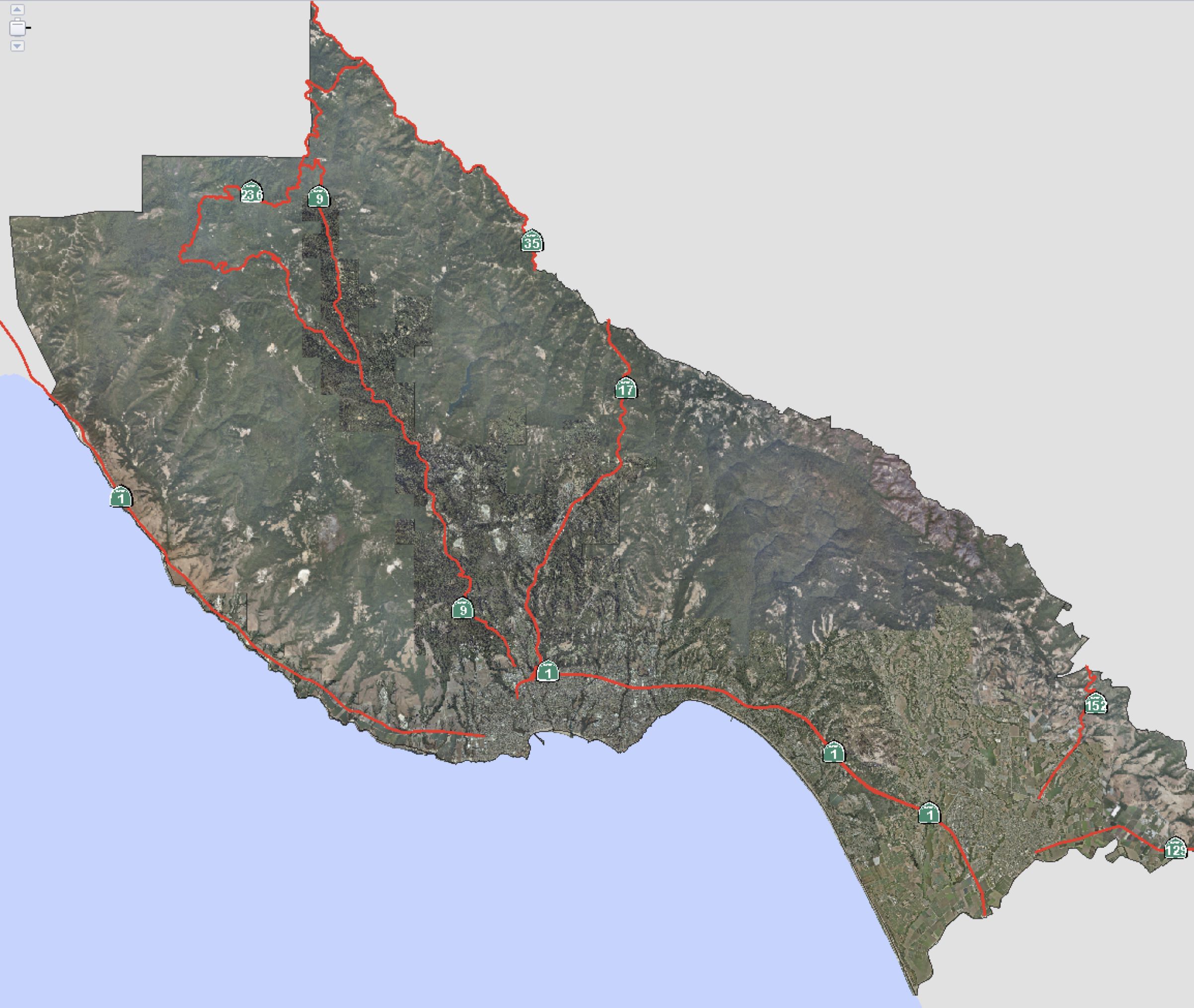
I am not sure how many of you have found this yet, but on this web site there is a great resource for Santa Cruz Maps. Anyone in the Real Estate profession in Santa Cruz is a map-hand – Realtors are always looking at maps: street maps, parcel maps, topographic maps, etc. Whenever I find a cool mapping resource, I will add it to this page.
I mention this because today I discovered a new mapping resource that had heretofore escaped my attention: The Santa Cruz GIS Map Gallery. There is a link to the Map Gallery from the GIS Web Site, but somehow it had escaped my attention all these years. It could be that they added this with the upgrade they did to the GIS system a few months back and that’s why I hadn’t seen it. Anyway, the Map Gallery is definitely worth checking out. They have a variety of high-resolution PDF documents that show a variety of interesting things in Santa Cruz County: the location of every lake, river, and stream, for example, as well as Steelhead and Salmon distribution on a separate biotic resources map. Pretty cool stuff!
Assessor Map Book: The Santa Cruz County Assessor assigns every parcel of real estate an “Assessor’s Parcel Number” (APN). This number is in the format 000-000-00. The first 000 is the Map Book Number, the second 000 is the Page and Block number, and the 00 refers to the individual parcel number. A Parcel Number of 063-132-15 would be called “Map Book 63, Page 13, Block 2, Parcel 15.” Using the link, you can download a PDF document showing the which Map Book covers any area of the county. In the example APN 063-132-15, you can tell from the map that the parcel is in Bonny Doon.
Santa Cruz County GIS Web Site: an awesome tool for finding learning many things about any piece of property in Santa Cruz County.
Santa Cruz County Recorded Map Index: Works just like the GIS web site, above, only it has a few different maps. It shows, in particular, parcels which have a recorded survey, which you can then get from the Santa Cruz Surveyor’s office. This site also has really great topographical maps, better than which can be found on the GIS web site.
UCSC Library Map Room: one of the best sources for maps in all of Santa Cruz County!
UC Santa Cruz Map: A map just of the Univeristy of California campus.
Santa Cruz County Toxic Release Map: Where is the toxic waste located in Santa Cruz county? This map can help you find out.
Cellular Telephone site map: Where are the cell towers located in Santa Cruz county? Use this map to see!
Santa Cruz County Voting District Map: Where are the voting district lines drawn? See if you’ve been gerrymandered!
Harbor Area Maps: A few maps of the Harbor area.
Census Maps: Tract and Block Cenus Maps from the year 2000, courtesy of the Santa Cruz Public Libraries.
Soil Maps: Get the dirt on the dirt of Santa Cruz County!
Wine Map: where the wineries are in the Santa Cruz Area.
Santa Cruz Water District Map PDF: A map showing the City of Santa Cruz Water District.
Local Agency Formation Commission: these folks have all kinds of maps for the county: water, fire zones, cities, sanitation districts, etc.
The Barclay Map for Santa Cruz County is the professional map used by Realtors in Santa Cruz County. Not sold in stores – you can buy it on-line, and it’s also available at the Santa Cruz County Association of Realtors, on Main Street in Soquel. There is no better overall Santa Cruz Map available in print.


